Ancient Mayan Empire Map
The ancient Mayan civilisation flourished across a vast and varied landscape, spanning what is now southern Mexico, Guatemala, Belize, Honduras and El Salvador. Understanding the ancient Mayan empire map is essential for anyone seeking to grasp how this remarkable society organised its cities, trade networks and ceremonial centres over more than two millennia. Far from a single unified state, the Maya world comprised dozens of powerful city-states, each with its own ruler and sphere of influence. Their geographical distribution reveals a sophisticated relationship between environment, agriculture and political ambition. This article explores the key features of the Mayan map, from the dense rainforests of the Petén to the arid plains of Yucatán, and considers what these locations tell us about daily life, warfare and spiritual belief in the classical period.
The Geographical Extent of the Mayan World

The Mayan territory is traditionally divided into three broad zones: the southern highlands, the central lowlands and the northern lowlands. The southern highlands, encompassing parts of Guatemala and Chiapas, were rich in volcanic soil and obsidian, a vital material for tools and weapons. The central lowlands, centred on the Petén basin, hosted some of the most celebrated cities, including Tikal and Calakmul. These settlements relied on elaborate systems of reservoirs and raised fields to support large populations amid seasonal droughts. The northern lowlands of the Yucatán Peninsula, by contrast, are characterised by porous limestone bedrock, which forced the Maya to depend on cenotes—natural sinkholes—for fresh water. This environmental contrast shaped distinct architectural styles, agricultural practices and even political alliances. Mapping these zones helps historians trace how resources were exchanged and how power shifted over time.
Major Cities and Ceremonial Centres

Any detailed ancient Mayan empire map will highlight a constellation of major cities, each functioning as a political and religious hub. Tikal, in modern Guatemala, dominated the central lowlands and engaged in prolonged rivalry with Calakmul to the north. Palenque, nestled in the foothills of Chiapas, is renowned for its intricate stucco reliefs and the tomb of Pakal the Great. Further north, Chichen Itza and later Mayapan rose to prominence, blending Maya traditions with influences from central Mexico. Coastal sites such as Tulum and Cerros served as trading ports, linking inland powers to Caribbean seaborne commerce. The layout of these cities was never arbitrary; temples, ball courts and palaces were aligned with astronomical events, reflecting a cosmology in which earthly power mirrored celestial order. By studying their positions on the map, researchers can reconstruct trade routes for salt, jade, cacao and obsidian, revealing an interconnected economy that stretched from the Gulf of Mexico to the Pacific coast.
In conclusion, the ancient Mayan empire map is far more than a collection of dots on a page. It is a record of adaptation, ambition and belief, showing how a diverse array of city-states thrived in challenging environments. From the reservoir engineering of Tikal to the cenote-dependent settlements of Yucatán, geography shaped every aspect of Maya life. For historians and enthusiasts alike, consulting an accurate map opens a window onto a civilisation that continues to fascinate. Whether you are planning a visit to the region or simply studying its past, a clear understanding of the Mayan landscape will deepen your appreciation of one of the world’s most enduring cultures.
スタイル抜群!木下優樹菜の長女と次女の写真に反響「莉々菜ちゃんが優樹菜にしかみえない」 - 芸能写真ニュース : 日刊スポーツ

スタイル抜群!木下優樹菜の長女と次女の写真に反響「莉々菜ちゃんが優樹菜にしかみえない」 - 芸能写真ニュース : 日刊スポーツ
木下優樹菜、ママそっくりの娘たちとキメた“チョリース”3ショット パパ要素ゼロの成長ぶりに「ゆっきーな2人いる」「美少女ちゃん」(1/2

木下優樹菜、ママそっくりの娘たちとキメた“チョリース”3ショット パパ要素ゼロの成長ぶりに「ゆっきーな2人いる」「美少女ちゃん」(1/2 ...
木下優樹菜、長女・莉々菜ちゃんの7歳誕生日を祝福 夫・フジモンと誕生時の3ショットも投稿 - スポーツ報知

木下優樹菜、長女・莉々菜ちゃんの7歳誕生日を祝福 夫・フジモンと誕生時の3ショットも投稿 - スポーツ報知
木下優樹菜の5歳写真&娘・莉々菜ちゃんイベント出演時の写真:フォトギャラリー|シネマトゥデイ

木下優樹菜の5歳写真&娘・莉々菜ちゃんイベント出演時の写真:フォトギャラリー|シネマトゥデイ
莉々菜ちゃん, りりな 長女 | 木下優樹菜、長女・莉々菜ちゃんの7歳誕生日を祝福 – UKFQ

莉々菜ちゃん, りりな 長女 | 木下優樹菜、長女・莉々菜ちゃんの7歳誕生日を祝福 – UKFQ
莉々菜ちゃん, りりな 長女 | 木下優樹菜、長女・莉々菜ちゃんの7歳誕生日を祝福 – UKFQ
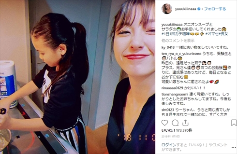
莉々菜ちゃん, りりな 長女 | 木下優樹菜、長女・莉々菜ちゃんの7歳誕生日を祝福 – UKFQ
【顔画像】木下優樹菜の子供2人の現在の姿!学校や幼稚園はどこ? | Noma-blog
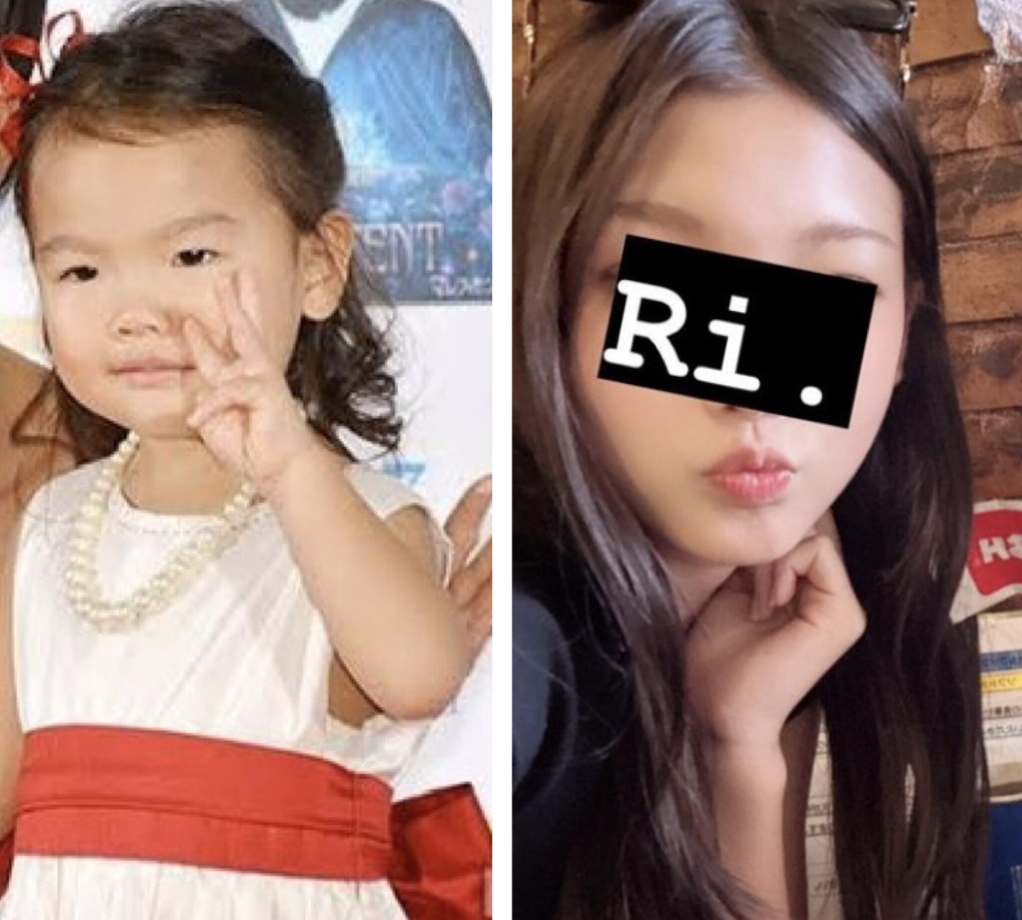
【顔画像】木下優樹菜の子供2人の現在の姿!学校や幼稚園はどこ? | noma-blog