Map Of Africa After Colonization
About google maps: how google maps works-satellite map (google earth). Live satellite maps google maps satellite street view live with earth
The map of Africa, as it appears today, is not the product of ancient kingdoms, natural frontiers, or the will of the continent's own peoples. It is, in large measure, the enduring artefact of a brief and brutal period of European imperialism in the late nineteenth century. Between the Berlin Conference of 1884–85 and the outbreak of the First World War, the European powers partitioned the African continent with astonishing speed, drawing straight lines across deserts, rivers and mountain ranges with little regard for the societies that lay beneath them. Understanding how this map was drawn — and the consequences it continues to generate — is essential to any serious engagement with modern African politics, economics and identity.
Carving a Continent: The Berlin Conference and the Scramble for Africa

Before 1880, European control of Africa was largely confined to coastal enclaves and trading posts. Within two decades, that picture had been transformed beyond recognition. The Berlin Conference, convened by Otto von Bismarck in 1884, brought together the major European powers — Germany, Britain, France, Belgium, Portugal and others — to divide the continent among themselves. Notably, no African representative was invited to the table. The principle of "effective occupation" was established, requiring each power to demonstrate actual control over its claimed territory, which in turn accelerated the military conquest of the interior. Borders were drawn along lines of latitude and longitude, following rivers at one moment and ignoring ethnic, linguistic and religious boundaries at the next. The result was a patchwork of colonies whose frontiers bore no relationship to the human geography of the continent, and whose administrative structures were designed for the extraction of resources rather than the welfare of their inhabitants.
Reading the Legacy in the Modern Landscape
Viewed from above, the legacy of this colonial cartography is immediately apparent. The straight borders that slice across the Sahara, the abrupt meeting of distinct administrative zones, and the sheer number of landlocked states — nearly all of them a direct consequence of colonial boundary-making — are visible reminders of decisions made in European capitals more than a century ago. When independence swept the continent in the 1950s and 1960s, the newly formed states inherited these colonial frontiers almost without exception. The Organisation of African Unity formally endorsed the principle of uti possidetis, accepting the colonial borders in order to avoid a cascade of territorial disputes, and the map of independent Africa therefore came to mirror the map of colonial Africa almost exactly.
That inheritance has carried a heavy price. Borders that divided single ethnic groups across two or more states have fuelled separatist movements, refugee crises and regional conflict, while the artificial amalgamation of rival communities within a single state has placed immense strain on national institutions. Economically, landlocked nations remain dependent on their neighbours for access to ports, and resource-rich regions are frequently contested precisely because colonial boundaries allocated them without reference to local patterns of settlement. For scholars and policymakers alike, the map of Africa is thus not a neutral representation of geography; it is a living document of imperial history, one whose lines continue to shape the lives of more than a billion people. Acknowledging this history is not to argue that the map should be redrawn, but rather to recognise that the borders of the continent are political artefacts, and that their future — like their past — will be decided by the peoples of Africa themselves.
Google Map Of The Earth ~ AFP CV

Google Map Of The Earth ~ AFP CV
World Map - Political Map Of The World - Nations Online Project

World Map - Political Map of the World - Nations Online Project
USA Map | Maps Of The United States Of America

USA Map | Maps of the United States of America
About Google Maps: How Google Maps Works-Satellite Map (Google Earth)

About Google Maps: How Google Maps Works-Satellite map (Google Earth)
Live Satellite Maps Google Maps Satellite Street View Live With Earth
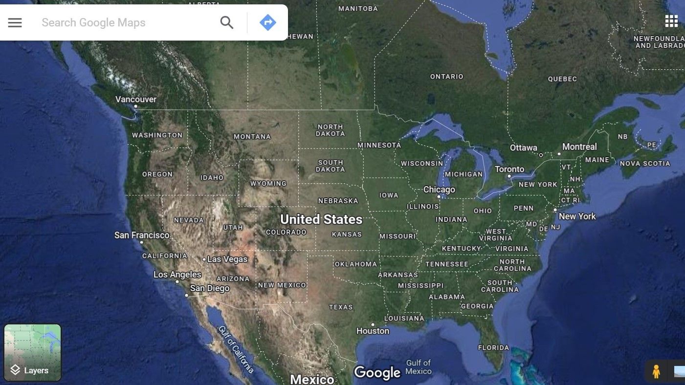
Live Satellite Maps Google Maps Satellite Street View Live With Earth
World Map - A Physical Map Of The World - Nations Online Project

World Map - A Physical Map of the World - Nations Online Project
Satellite Maps: Explore Your World From Above
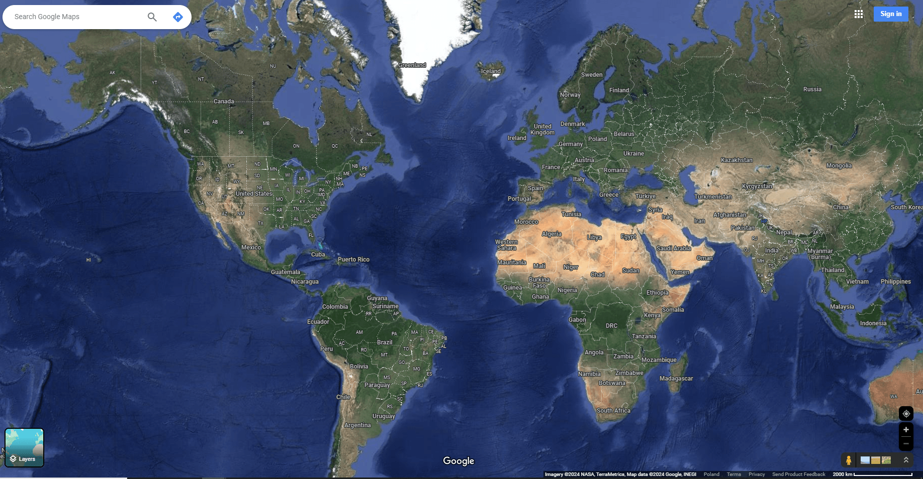
Satellite Maps: Explore Your World from Above