Map Of Napoleon Empire
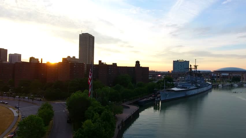
buffalo skyline in new york image. Buffalo skyline in new york image
A map of the Napoleonic Empire rendered in black tone does more than look striking on a study wall. Stripping away colour forces the eye onto the outlines that actually mattered between 1804 and 1815 — the borders that shifted with every treaty, the satellite kingdoms that answered to Paris, and the seas that Britain guarded so stubbornly. If you are tracing how far French power reached at its height, a monochrome map is often the clearest tool you can use, because it removes the decorative noise and leaves the political geography bare.
What the Black-Tone Map Actually Shows
The French Empire proper is the core to look for first. By 1812 it stretched well beyond modern France, absorbing the Netherlands, much of northern Italy, Catalonia, and the Illyrian provinces along the Adriatic. Around that core sat the dependent states: the Kingdom of Italy, Naples, Spain under Joseph Bonaparte, Westphalia under Jérôme, and the Confederation of the Rhine. Then came the allies and forced partners — Prussia, Austria, Denmark-Norway, and the Grand Duchy of Warsaw. In black tone these layers are usually distinguished by line weight and hatching rather than fill. Learn to read that hatching and the hierarchy becomes obvious: annexed departments, satellite kingdoms, and nominal allies each sit at a different distance from Paris.
Why Monochrome Works So Well for Napoleonic Cartography

Colour maps of this period tend to imply a tidy, unified bloc. They are not tidy. The Continental System, the blockade designed to cripple British trade, ran through coastlines that changed hands repeatedly, and the Empire's borders were redrawn after Austerlitz, Tilsit, and Wagram within a few short years. A black-tone treatment suits this instability because it encourages you to date the map rather than assume it is permanent. Always check the year printed on the plate. A map of 1810 looks profoundly different from one of 1813, when the retreat from Russia had already begun to unpick the whole structure.
For students and history enthusiasts alike, the practical value lies in comparison. Print two black-tone maps side by side — one from the peak of expansion, one from the collapse — and the story of Napoleon's rise and fall becomes a matter of geometry rather than narrative. You can see, quite literally, how much ground had to be held, how long the supply lines ran, and why defending an empire that size against a coalition of Britain, Russia, Prussia, and Austria proved impossible.
A single-colour map also reproduces beautifully. Photocopies, textbook print runs, and archival scans all keep their legibility when there are no subtle colour fills to lose in the process. That is a small practical advantage, but it is one reason these stark black maps remain popular in classrooms and reference works more than two centuries after Waterloo.
Weather Alerts And Updates – October – Eye Opening Truth
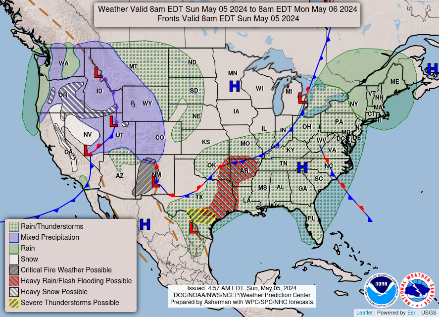
Weather Alerts and Updates – October – Eye Opening Truth
Buffalo Skyline In New York Image - Free Stock Photo - Public Domain

Buffalo skyline in New York image - Free stock photo - Public Domain ...
Buffalo Skyline In New York Image - Free Stock Photo - Public Domain

Buffalo skyline in New York image - Free stock photo - Public Domain ...
Free Images : Snow, Black And White, Monument, Statue, Soldier, Weather

Free Images : snow, black and white, monument, statue, soldier, weather ...
Buffalo Skyline In New York Image - Free Stock Photo - Public Domain
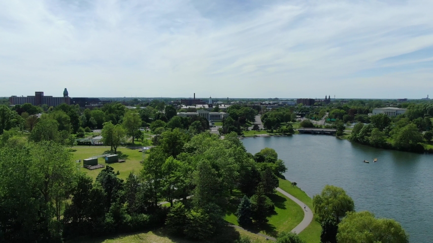
Buffalo skyline in New York image - Free stock photo - Public Domain ...
Brown Buffalo Closeup Photography · Free Stock Photo

Brown Buffalo Closeup Photography · Free Stock Photo
Buffalo Central Terminal | Buffalo NY Central Terminal, Sept… | Flickr

buffalo central terminal | Buffalo NY Central Terminal, Sept… | Flickr