Map Of The Empires Of Ghana Mali And Songhai
The great empires of West Africa—Ghana, Mali and Songhai—dominated the Sahel and savanna regions for nearly a thousand years, shaping trade, culture and governance across the continent. Understanding where these empires rose, expanded and eventually fell is essential to appreciating their enduring influence. A map of their territories reveals not just shifting borders, but the rise and decline of trans-Saharan commerce, the spread of Islam and the strategic importance of riverways and goldfields. This article explores the geographical reach of each empire in turn, offering a clear spatial perspective on one of history's most remarkable political sequences.
The Empire of Ghana: The Land of Gold and the Earliest Sahelian Power
The Empire of Ghana, often called the Wagadou Empire, flourished from approximately the 6th to the 13th century. Its heartland lay in the region between the Senegal and Niger Rivers, encompassing parts of modern-day Mauritania, Mali and Senegal. The capital, Koumbi Saleh, served as a major trading hub where Arab merchants exchanged salt from the Sahara for gold from the south. On a map, Ghana's territory appears as a broad band north of the Niger bend, controlling critical caravan routes. Its decline came through Berber invasions from the north and the rise of competing states, particularly the Sosso kingdom, which eventually paved the way for Mali's ascendancy.
The Empire of Mali: Expansion, Timbuktu and the Height of Sahelian Influence
The Mali Empire emerged in the 13th century under Sundiata Keita, expanding rapidly from its base near the upper Niger River. At its peak in the 14th century, under rulers such as Mansa Musa, Mali controlled a vast territory stretching from the Atlantic coast in the west to the Niger bend in the east, and from the Sahara Desert in the north to the rainforests in the south. Key cities including Timbuktu, Gao and Djenné became centres of learning, trade and Islamic scholarship. A map of Mali shows a far larger domain than Ghana, with its influence reaching into present-day Guinea, Senegal, Mauritania, Burkina Faso and Niger. The empire's wealth, derived from gold and salt, made it one of the richest states in the medieval world. Internal succession disputes and rebellious provinces eventually weakened Mali, allowing the Songhai to assert independence.
The Empire of Songhai: The Last and Largest of the Sahelian Giants
The Songhai Empire rose from the city of Gao, which had long been a trading centre under Mali's rule. In the late 15th century, Sunni Ali Ber and later Askia Muhammad I transformed Songhai into the largest empire in West African history. Its territory extended from the Senegal River in the west to the Niger River in the east, and from the Sahara in the north to the savanna lands in the south. Timbuktu, Djenné and Gao flourished as centres of trade, Islamic law and scholarship. A map of Songhai reveals a domain even more extensive than Mali's, encompassing parts of modern Mali, Niger, Nigeria, Benin, Burkina Faso and Senegal. The empire's collapse in 1591 at the Battle of Tondibi, following a Moroccan invasion, marked the end of the great Sahelian empires and the beginning of a new political era in West Africa.
Together, the maps of Ghana, Mali and Songhai illustrate a dynamic sequence of rise, expansion and decline across the West African savanna. Each empire built upon the commercial and cultural foundations of its predecessor, and their territories overlapped in the vital Niger River region. Studying these maps offers a spatial understanding of how geography, trade and military power shaped the political landscape of medieval West Africa. For historians and students alike, these cartographic representations remain indispensable tools for visualising a rich and complex past.
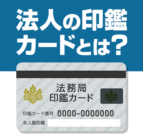
法人の印鑑カードとは?交付申請書の書き方や紛失時の対応を解説
法人の印鑑カードとは?交付申請書の書き方や紛失時の対応を解説
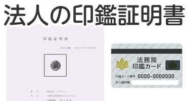
法人(会社)の印鑑登録の方法を徹底解説|印鑑うんちく事典
法人(会社)の印鑑登録の方法を徹底解説|印鑑うんちく事典
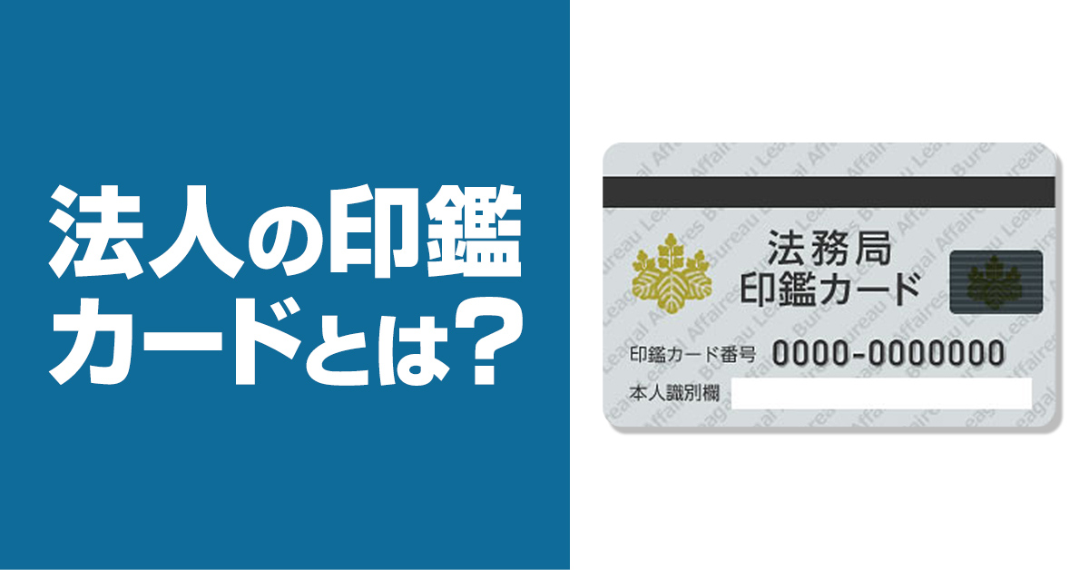
印鑑カードとは? 法人の印鑑証明書発行に必要なものを解説 | 電子契約サービス「マネーフォワード クラウド契約」
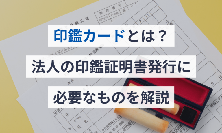
印鑑カードとは? 法人の印鑑証明書発行に必要なものを解説 | 電子契約サービス「マネーフォワード クラウド契約」
印鑑カードの3つの取得方法を詳しく解説!! | 江東区の税理士|税務会計事務所【保田会計事務所】

印鑑カードの3つの取得方法を詳しく解説!! | 江東区の税理士|税務会計事務所【保田会計事務所】
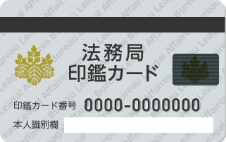
法人の印鑑登録をする手順は? 印鑑カード・印鑑証明書の取得手続きについても解説!
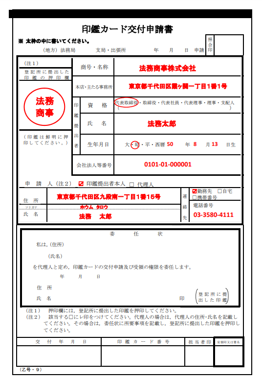
法人の印鑑登録をする手順は? 印鑑カード・印鑑証明書の取得手続きについても解説!
印鑑 カード と は – 印鑑カード 個人 – VISHUJI
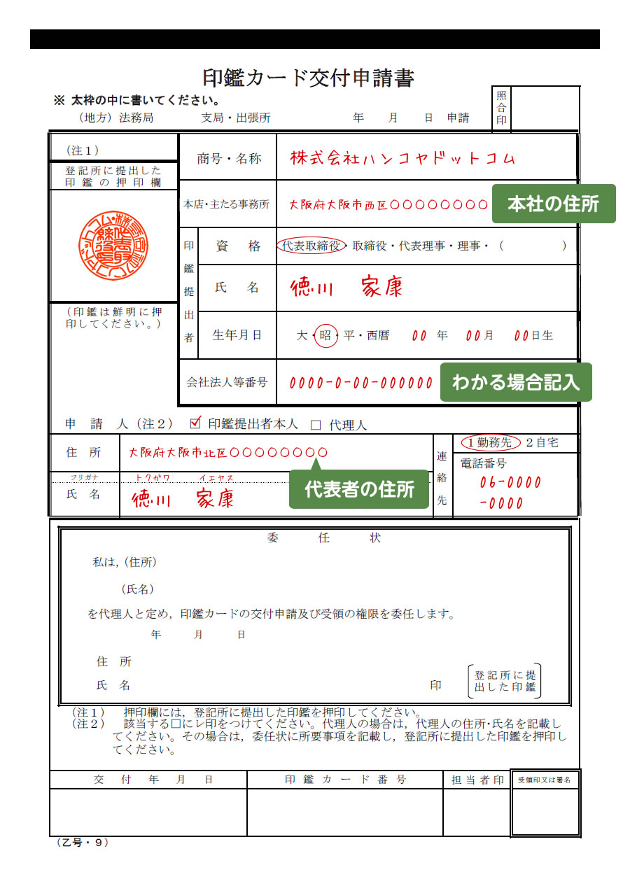
印鑑 カード と は – 印鑑カード 個人 – VISHUJI
法務局で印鑑カード受け取って証明書を取得 – 1人株式会社ブログ
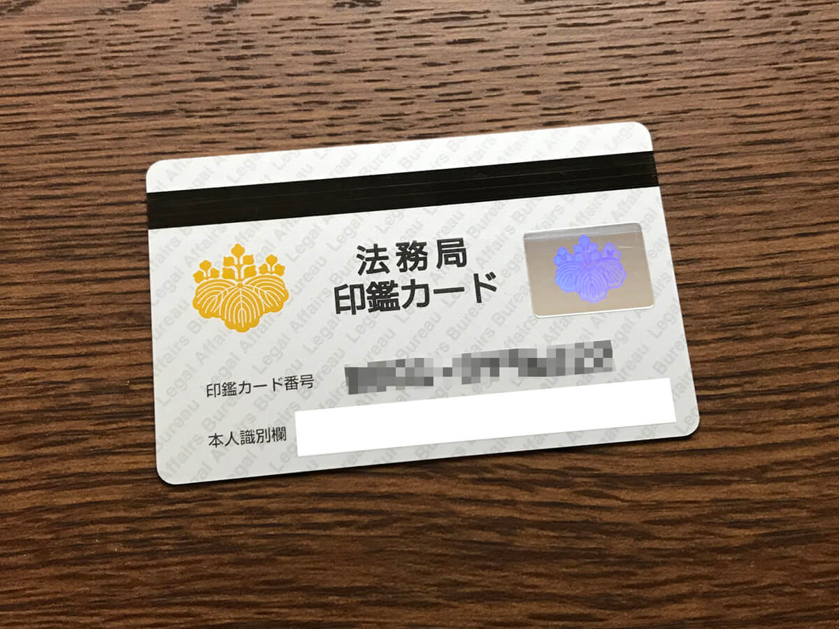
法務局で印鑑カード受け取って証明書を取得 – 1人株式会社ブログ