Old Map Of Africa Before Colonization
Long before the Berlin Conference carved the continent up with rulers and red ink, Africa was a place of empires, trade routes and bustling cities — and the maps drawn of it tell a story most of us never get taught. Pull up an old map of Africa before colonisation and you are not looking at empty space waiting to be filled. You are looking at the Sahel's gold routes, the Swahili coast's monsoon ports, and kingdoms whose names once carried weight from the Mediterranean to the Zambezi. The fascinating part? Early European cartographers often had no idea what they were drawing, which makes these maps equal parts history lesson and detective story.
The World According to Ptolemy: Africa's First Rough Sketch

Claudius Ptolemy, a Greek scholar working in Alexandria around the second century, produced a geography that shaped how Europeans pictured Africa for more than a thousand years. His map stretches the continent oddly and invents a massive inland lake system feeding the Nile, but it also names real places — the Niger, the Atlas Mountains, the Horn of Africa. Medieval Islamic cartographers such as al-Idrisi improved on this considerably, mapping the goldfields of Wangara and the caravan towns of the Sahara with genuine accuracy. When European printers rediscovered Ptolemy in the 1400s and began reproducing his work, they were circulating knowledge that traders, scholars and travellers had carried across the desert for centuries. Old maps of Africa from this era are less a record of the land than a record of who was paying attention to it.
Blank Spaces, Big Kingdoms: Mali, Songhai and the Myth of the Empty Continent

Here is the detail that undoes the whole "dark continent" cliché. While seventeenth and eighteenth century European maps left huge swathes of the interior blank or filled them with speculative mountains and rivers, Africa at the time contained some of the wealthiest and most sophisticated societies on Earth. The Mali Empire, and later Songhai, controlled trans-Saharan trade in gold and salt, and Timbuktu was a university city with libraries holding thousands of manuscripts. Further east, Great Zimbabwe built stone walls without mortar, the Kingdom of Kongo ran a sophisticated diplomatic correspondence with Portugal, and the Swahili city-states of Kilwa and Mombasa traded with Arabia, Persia, India and China. Aksum in Ethiopia had its own script and coinage while much of Europe was still sorting itself out. The reason these places barely appear on old European maps is not that they were not there. It is that mapmaking was often funded by the very trading companies sizing up the coastlines for future extraction. Some African communities mapped space differently altogether — through oral route knowledge, through cosmology, through the remarkable bronze plaques of Benin that recorded court life and territory in relief rather than on paper. When you study a pre-colonial map, then, you are looking at two maps at once: the land as it was, and the blind spots of the people holding the pen. By the time the scramble for Africa was formalised in 1884, European powers were drawing borders straight through kingdoms, language groups and trade networks that had functioned for generations. That is why the older maps matter. They preserve, in fading ink and guesswork, a continent of nations before the lines were drawn over the top of them.
শহরের ছেলে মিলন ভাই

শহরের ছেলে মিলন ভাই
প্রযুক্তির কাজ | মিলন ভাই
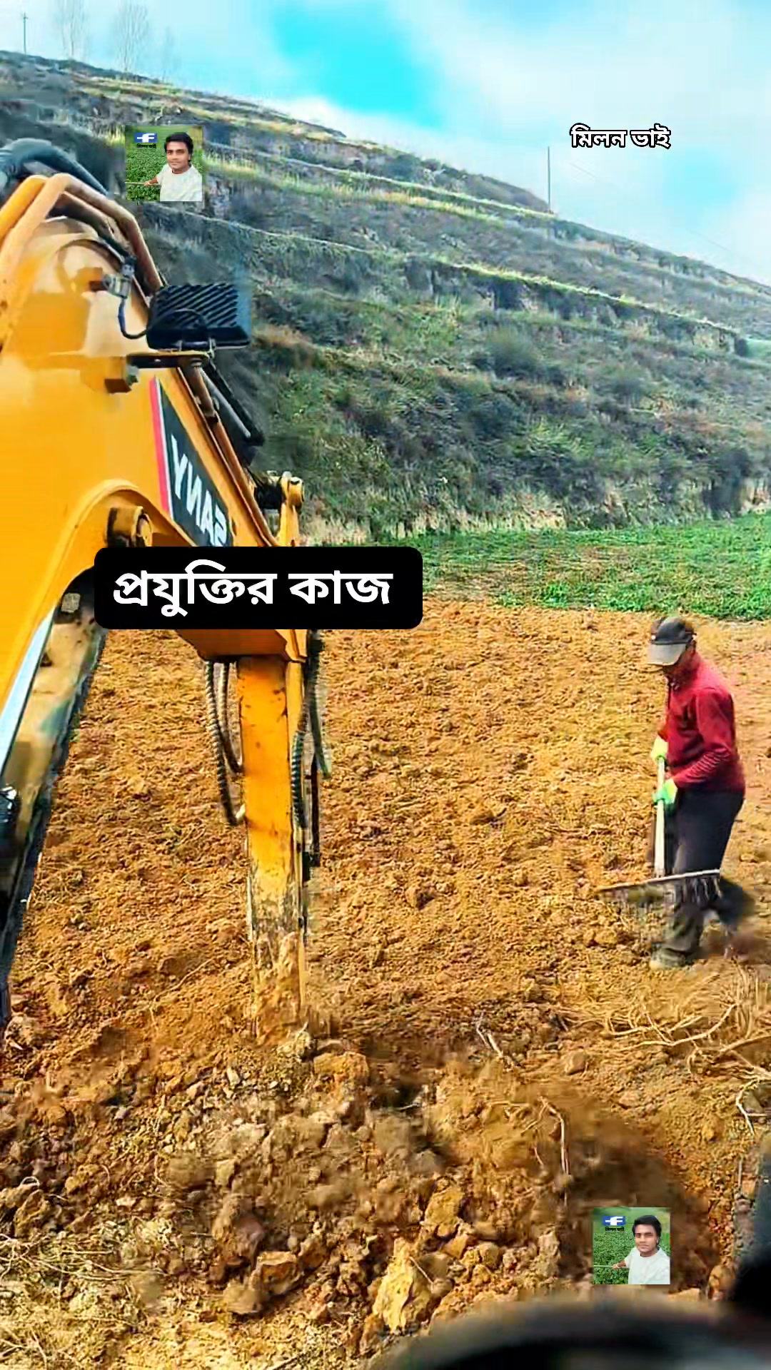
প্রযুক্তির কাজ | মিলন ভাই
মিলন ভাই

মিলন ভাই
মিলন ভাই 02

মিলন ভাই 02
মিলন ভাই 95

মিলন ভাই 95
শহরের ছেলে মিলন ভাই

শহরের ছেলে মিলন ভাই
আমি মিলন ভাই

আমি মিলন ভাই